The visit to Vasai-Virar amplified the stunning contrast between the various parts of the areas that were grouped under the Vasai-Virar municipal corporation. Indeed, the entire area did not give the impression of being part of one contiguous urban settlement, with vast variations between the East and West, divided by the railway line, as well as between Virar, Nallasopara and Vasai, moving from north to south.
Entry to Vasai-Virar was through the road bridge over the Vasai creek, with the first vistas being a busy national highway lined with (mostly Kathiawadi) dhabas passing through a semi-forested landscape. The vegetation soon gave way to scattered settlement on the west, with forests still visible in the hills to the east. Over the next few kilometres were four exits from the highway: two each to Vasai and Nala Sopara. We took the last of these, indicated in dramatic effect by a board welcoming us to Vasai-Virar, put up not by the municipality but by the Party, with the leaders’ photos prominently displayed.
The turnoff led us onto a broad road, divided in parts by a median with streetlights. The settlement on either side was predominantly industrial/commercial, with godowns and other storage space dominating the landscape, along with the occasional industrial unit. Built form was clearly informal, with even the course and width of the road bearing witness to the irregular nature of the relationship between the municipality and the landowners along its length. Transport in these parts was dominated by shared autos, with a stand visible at one point. A couple of kilometres in, settlement pattern started to densify visibly along with a transition to residential housing. The latter again appeared to be at least partly informal, with multi-storey concrete structures closely and haphazardly packed together, resembling forms of informal worker housing seen in other cities. The road network (one of which we turned into) comprised an irregular network of narrow streets which seemed to indicate that the area had developed organically from a much less dense settlement.
We stopped for lunch at a friend’s place, which was at the other end of the aforementioned network, where the road suddenly broadened out into a divided carriageway and there was a lot more vacant space and empty lots. After lunch, the tour of the area resumed by proceeding along the broad road, to a bridge across a culvert which marked the boundary between Virar East (to the north) and Nallasopara East (where we had been till then). Looking back at Nallasopara, there was a clear indication of change in the air – beyond the already built up area, plots were being filled up and built on into high-rise residential housing, with a few sporting advertisements from builders promising dream homes. These were interspersed with bits of open vacant land, rapidly disappearing, which also used to soak up rainwater during the monsoon. With this natural drainage gone, and no replacement forthcoming, the area, which lies lower than the surrounding hills, was at increased risk of catastrophic flooding – indeed, Vasai Virar had experienced this just a couple of monsoons back.
The change on crossing into Virar East was instant and dramatic – broad, tree-lined avenues with taller buildings that were not as densely clustered together. A commercial complex with a fleet of buses parked in front revealed itself to be the hub of several travel agencies offering southbound bus services to various locations along the Konkan coast – an indication of the migrant composition of this area. Further along the road, a large pandal occupied one carriageway of the road, with its patronage clearly attributed to the Shiv Sena. Right across it was a small pond with a walking track along its perimeter, developed by the municipality and with Party insignia emblazoned on it. Were the parties sparring, or was it an uneasy truce? For the children occupying both spaces with excitement, it did not seem to matter.
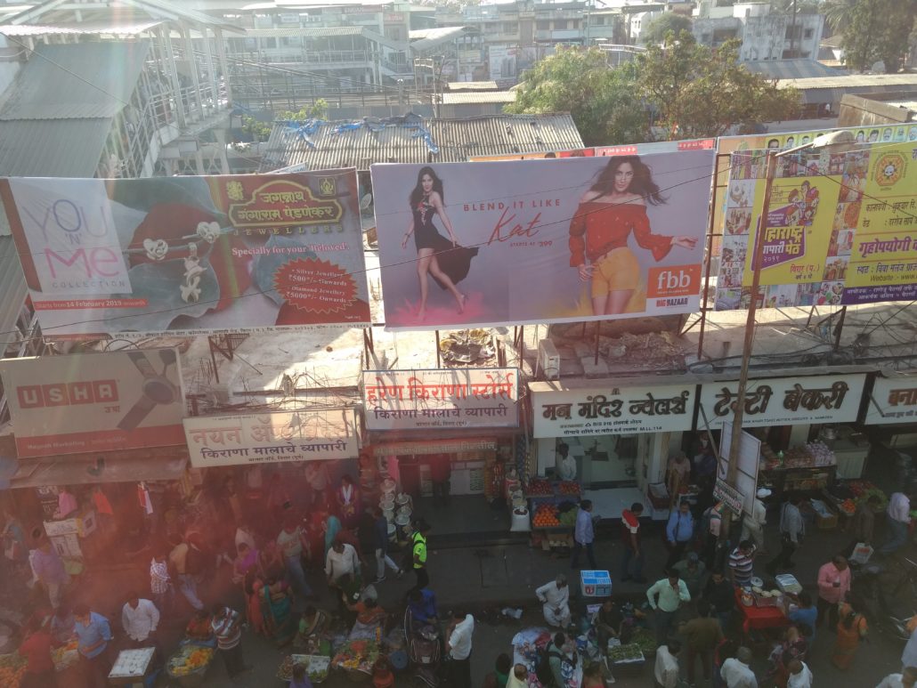
The road narrowed as we walked further along it, on a slightly westward course towards the railway station. This was the ‘old town’, with thriving mixed-use along the main road: low apartment buildings fronted by shops. The height of the apartments was in marked contrast to newer developments earlier along the same road, as well as constructions that were visible in the distance. The road was also a major thoroughfare, with a fleet of lemon-yellow buses operated by the municipality regularly passing by, in addition to the autos. As we approached the station the road narrowed considerably, and we took a pedestrian short-cut to reach the entrance, in a cacophony of human and vehicular traffic, primarily the aforementioned autos, most of which originated/terminated at the three or so major stands located right outside. A skywalk, recently constructed and sparsely used, provided an excellent vantage point to view the landscape: on the west, the railway station and yard; on the north-east the bus stand with a dedicated exit from the skywalk adjoining it another municipal landscaped pond, which the skywalk presently crossed, leading into a residential area on its far end, with a hilltop temple – a famous one in these parts – visible in the distance; and in the south-east a few shops and the auto stands, indicated by a sea of the little black topped vehicles. The skywalk was ostensibly constructed to keep pedestrians clear of this mess, but the accompanying shifting of the ticket counters to the first floor was yet to materialise, which was possibly why most pedestrians gave it a miss and chose to add to the cacophony below.
The absence of the ticket counters was made up for by the new Indian Railways unreserved ticketing app, with which we booked tickets and made our way to the platform. Being a Sunday, the locals were running at reduced frequency which also meant that they were unusually crowded. A short but stuffy journey took us past vast open areas (on the west) and vast expanses of construction (on the east) to Vasai Road, where the station on the west opened up into a large but mostly empty ST bus stand. On a road at its other end stood a cluster of yellow municipal buses, one of which we presently boarded. The tension between the municipal and ST buses manifested itself in all the three towns – Vasai, Nallasopara and Virar. Conversations with the municipal transport staff revealed that after the formation of the municipal corporation, the state government was supposed to hand over local bus transport (and the land on which the ST bus stations stood) to the local body, but this did not materialise due to ‘politics’. Thus an uneasy coexistence of both forms of transport prevailed, with the municipal buses steering clear of the ST bus stands but using their peripheries to pick up passengers.
Vasai Road West appeared to be the neatest part of the city thus far, and the bus made its way along a well maintained road as the landscape transitioned from a heavily built-up marketplace and urban administrative form to a very rural, residential/agricultural appearance: indeed, as Lalitha had described it, the place gave a feel of rural Goa. Bungalow-style houses interspersed with coconut trees and lush foliage certainly formed an unusual juxtaposition to the bustle of nearby Mumbai, and even to the denser settlements on the other side of the railway line.